We specialize in geospatial and aeronautical data processing

Conversion of complex aviation and geospatial files into standardized formats for analysis.

Treatment of raw data with automated workflows ensuring accuracy, metadata completeness, and compatibility.

Delivery of production-ready outputs for operational teams, research, and industry compliance.

Data conversion platform for analysis workflows

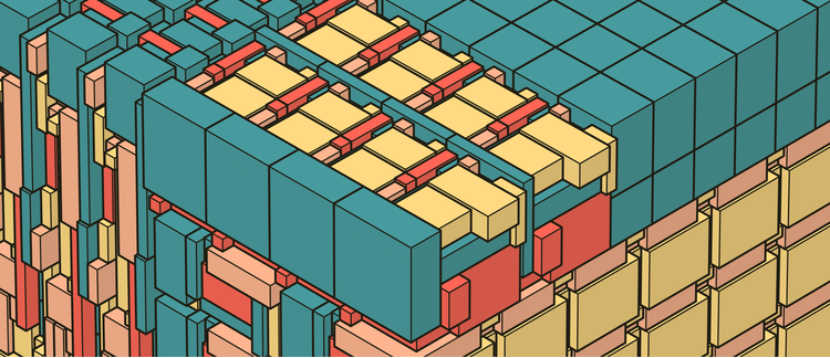
We developed a robust system to parse binary frames, decode BCD parameters, and generate HDF5 outputs with rich metadata. This ensures compatibility with industry tools and supports collaborative analysis.

Learn more
alternative

Our data processing workflow


REVIEW
PROCESS
DELIVER

We carefully review your geospatial or aeronautical files to ensure integrity and compliance. Then we process the data using automated workflows for conversion, validation, and metadata enrichment. Finally, we deliver standardized outputs ready for analysis, operations, or integration into your systems.

Specialized Data Services

Our startup provides tailored solutions for geospatial and aeronautical data conversion, treatment, and analysis.

Data Conversion

Transforming raw aviation and geospatial files into standardized, interoperable formats.

Workflow Automation

Automated parsing, metadata extraction, and validation for operational clarity.

File Treatment

Secure handling and processing of geospatial and aeronautical datasets.

Why work with us


  • 1.
    Expertise in aviation and geospatial data
    We understand the complexity of industry standards and deliver compliant outputs.
  • 2.
    Automated and scalable workflows
    Our solutions reduce manual effort and ensure repeatable, auditable processes.
  • 3.
    Startup agility
    We adapt quickly to client needs, offering flexible and innovative solutions.

Get in touch with us

Register below to access our specialized geospatial and aeronautical data services.